Sogeumgang is the northern, rockier side of Odaesan National Park, where a valley has been cut into pale granite on the Gangneung side of the mountains.
What does the name mean? Little Geumgang, a comparison with Geumgangsan, the Diamond Mountains across the border in North Korea. The range has long been praised as the most beautiful on the peninsula, which is an ambitious standard for any valley to inherit. The comparison is said to reach back to Yulgok, the scholar who grew up in Gangneung and wrote of a journey here in the sixteenth century.
Sogeumgang
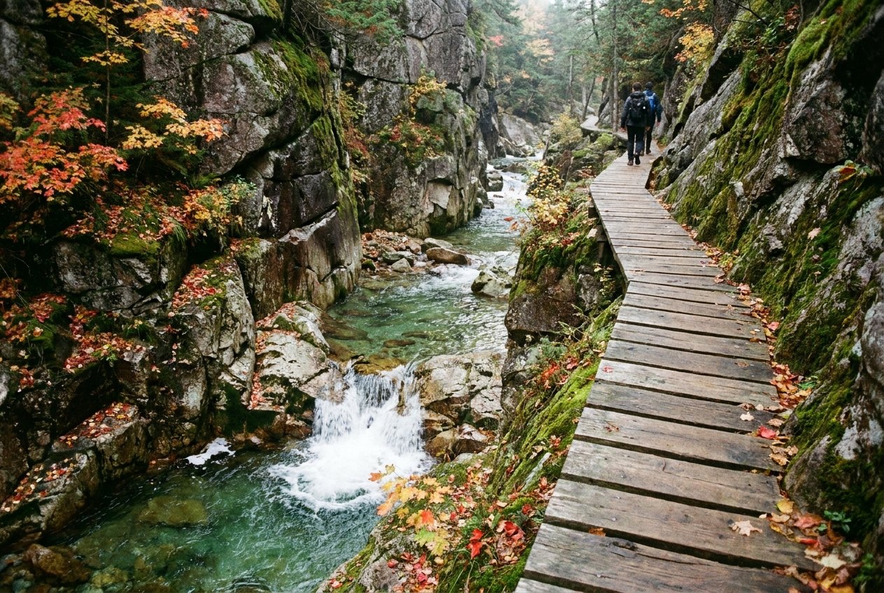
What is the first thing the valley offers? Water over stone. The stream crosses broad, smooth granite slabs, slips into deep green pools and continues between cliffs. Falls break up the gorge. Higher on the slopes, the rock rises into spires and pinnacles. The lower path follows this changing arrangement without asking the walker to become a mountaineer; farther up, the routes are proper mountain walks. Sogeumgang was the first place in the country to be listed as a national Scenic Site. The stream has been making its case for a while.
What does a morning here look like? The path draws into the valley, moving from a paved way to stone and earth, then across bridges, steps and wooden boardwalks where the stream presses close to the cliff. The first stretch is the one most visitors come for. Granite slabs lie almost flat beneath the water, and pools gather in their hollows with a green so deep it sounds like a paint-maker’s decision. One stretch of rock has been shaped into a run of basins. Another is said to be broad enough for a whole village to have sat down to a meal. The village, at least, would have had plenty of table.
What else appears among the trees? Small temples and hermitages, and the remains of old stone walls. They do not interrupt the walk so much as make the valley feel occupied by more than the present moment. The stream continues to provide the main commentary, which is concise and occasionally loud.
Where does the morning lead? Guryong Pokpo, the Nine Dragon Falls, where water steps down through pools in a cleft of rock. The name comes from the old belief that nine dragons lived in the basins. A viewing deck faces the falls. After heavy rain, their sound fills the valley; the dragons, if they were listening, would not need to ask what the weather had been doing.
Is the walk still gentle here? The path to Guryong falls climbs steadily, but it is well made, and the lower valley suits a wide range of walkers. Children, older walkers and people in ordinary trainers can manage it in dry weather. The rocks beside the stream can be slippery even when they look dry, and swimming in the pools is not allowed. The water is very good at looking inviting. That is not the same as receiving permission.
What changes after the falls? The trail steepens and the gorge narrows. More falls appear along the stream as the path climbs towards Manmulsang, a name meaning something like ten thousand shapes. The granite there rises in towers and blades, and in forms that have been compared to animals, people and figures from stories. Rock is obligingly vague about which one it intends to be.
Is this still the same sort of walk? Not quite. The climb beyond Guryong falls takes the path over rougher ground, with steep metal stairs and rocky sections. The towers make the effort easier to understand, if not easier to perform. Behind them, views look back down the valley; in autumn, colour gathers among the trees against the grey rock. The lower stream has been the day’s steady voice. Up here, the landscape starts making gestures.
What lies beyond Manmulsang? Longer routes climb to Odaesan’s high ridges, including Noinbong peak. Those are full-day mountain walks, rather than an extra stroll added because the valley has been pleasant so far. The upper ground has its own scale and demands; the lower valley is not a preview that obliges anyone to continue.
The stream crosses broad, smooth granite slabs, slips into deep green pools and continues between cliffs.
When does the valley look different? Autumn is the season most associated with Sogeumgang. From mid October, maples and other broadleaf trees turn red, orange and gold around the grey stone. The effect is especially striking from the higher valley, though autumn also brings fuller crowds. Weekday mornings are calmer than weekends, a modest reward for choosing a time when other people have not made the same choice.
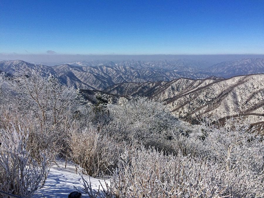
And the rest of the year? Late spring and the first part of summer bring fresh green leaves, full falls after rain and cool air in the gorge on hot days. Summer rain can swell the stream quickly; during the monsoon and after typhoons, parts of the path may close and bridges can be submerged. The valley is not obliged to keep its usual shape for visitors. In winter, snow and ice reach the gorge, and frozen falls and quieter paths can make the lower valley look spare and still. The higher routes close at times during the dry spring and autumn fire seasons, and some also close after heavy winter snow. The lower path generally stays open longer than the ridges.
What does the day leave room for once the walk comes down? A late lunch in the lower village, where mountain dishes include rice with wild greens, buckwheat pancakes and potato dishes. The pancakes get my vote: after a climb, a crisp edge is a persuasive argument. The village’s food is a better ending than pretending that a day in a valley should be fuelled entirely by admiration for rocks.
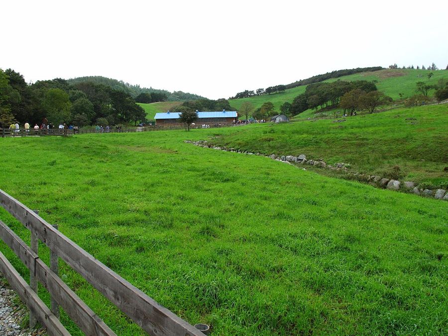
Does Sogeumgang belong only to this one valley? It sits within Odaesan, whose southern side around Woljeongsa and Sangwonsa temples is reached from Jinbu on the Pyeongchang side. The high pastures of Daegwallyeong lie between the two. Back in Gangneung, Ojukheon, the house where Yulgok was born, gives the old comparison a more personal shape. The valley’s name starts to sound less like a grand claim and more like a line in a life that began nearby.
Next stop: A day among Odaesan’s fir trees Mountains
What remains by evening? Pale granite, green water, the falls and a set of rock towers that refuse to settle on one likeness. The lower path has offered most of the valley without requiring a summit, while the upper slopes keep their own business. Perhaps that is the useful distinction here: the stream is happy to be followed, but how far should a day follow it?
Credits: Lcarrion88; Creative Commons BY-SA 4.0; Ken Eckert; Creative Commons BY-SA 4.0; Albert Lee1; Creative Commons BY-SA 4.0