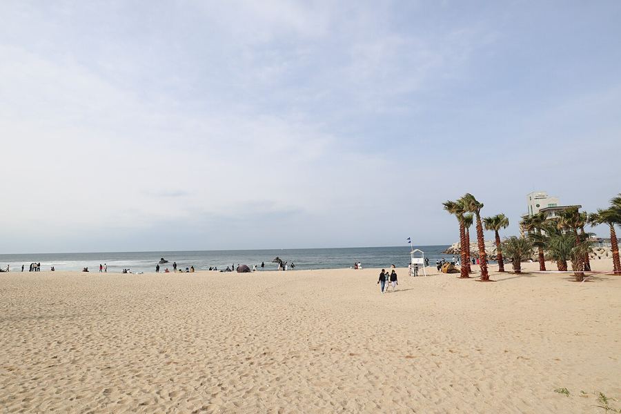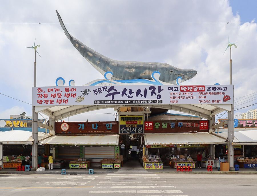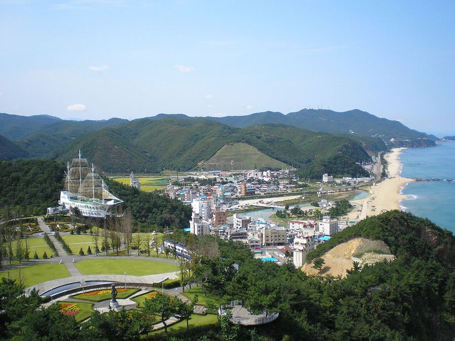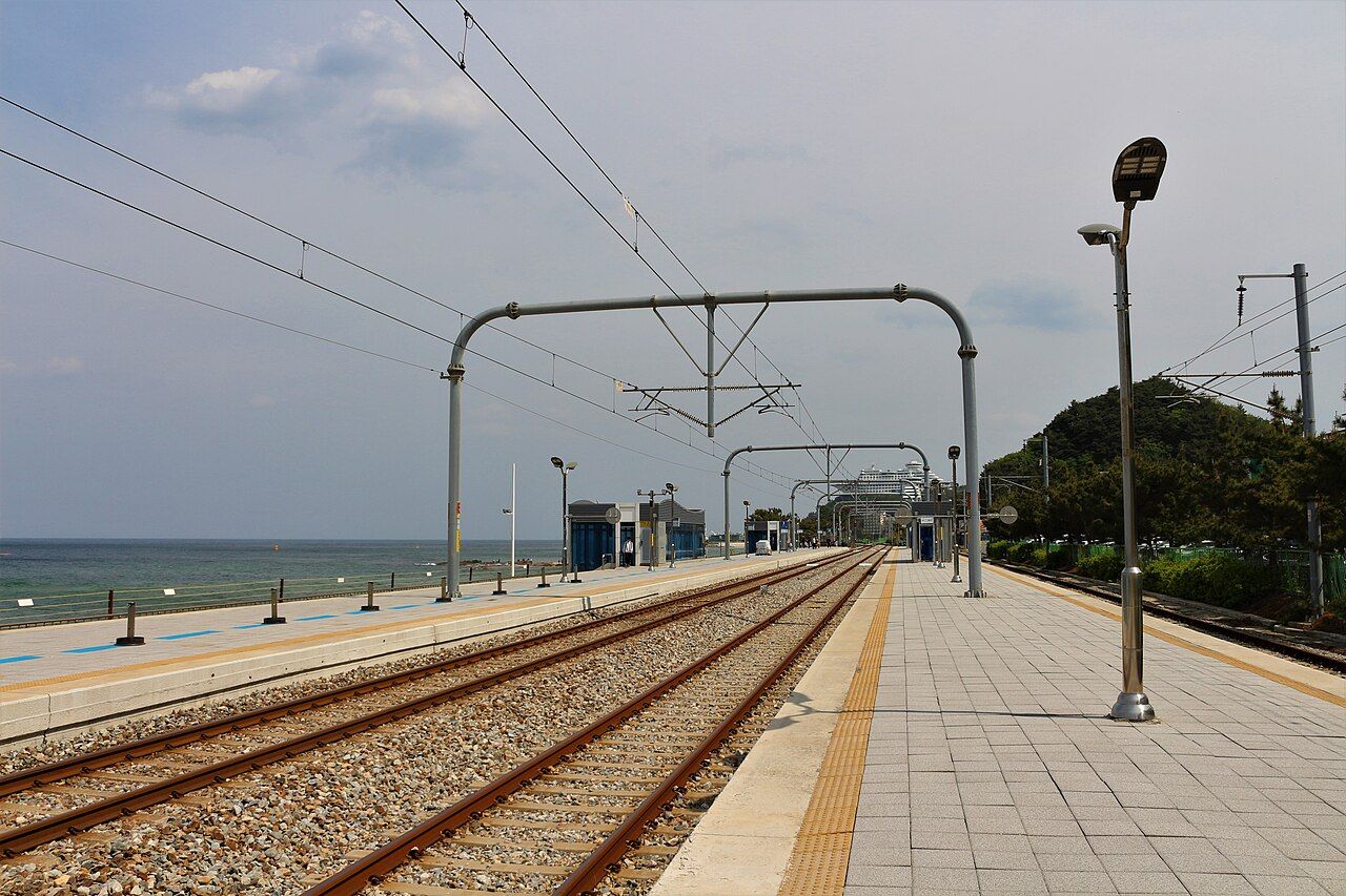
At Jeongdongjin Station, the platform runs beside the sea towards Gangneung. It is an unusually direct introduction to the coast: rail on one side, water on the other, and no suggestion that the sea intends to keep its distance. What lies south of here, though, was not always open to a leisurely walk.
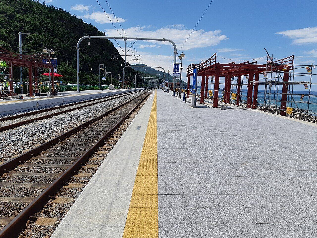
Is this simply a boardwalk beside the beach? Not quite. South of Jeongdongjin, the hills drop to the East Sea in cliffs and rocky coves. The shore was a military patrol zone for decades, watched for infiltration from the sea and closed to the public. Since 2016, a walkway has connected Jeongdongjin with Simgok harbour. Its full name, Jeongdong Simgok Badabuchae-gil, means roughly “sea fan path”, after the fan-like shape of the coast when seen from above. A name from a map, then, for a route that is very much about what is underfoot.
Jeongdongjin
Is the route a long coastal expedition? No. It is a little under three kilometres one way, but length is an unreliable measure of how much coast can be packed into a walk. Here there are wave-cut rocks, sea caves, cliffs with swirling layers and views of the surf close enough to make a boat seem like an unnecessarily elaborate arrangement. Most of the walkway is raised above the water, fixed to the rocks; stairs take it over the headlands. The steepest climbs come at either end, where flights of steps descend from the clifftop to the shore.
Does a walkway mean an easy, flat stroll? It means a walkway. Much of this one sits close to the waterline, while its stairs rise and fall over the coast. The distinction is worth keeping. The route is short, but it is not a level promenade, and the cliffs do not appear to have been consulted about making it one. From the path, the sea is in front and the cliffs are at your back; it can feel remote, though the route itself is built rather than wilderness.
Are the rocks just dramatic scenery? They are scenery, certainly, but with a history older than the present shoreline. A flat shelf of ancient seabed has been raised high above the water by the slow uplift of the land over a very long period. The coastal terrace is protected as a natural monument. Signs along the path explain how it formed and what to notice, for anyone who can briefly stop looking at the waves.
Next stop: Jeongdongjin and the sunrise everyone came to see Coast
What is there to notice besides the sea? Layered and tilted rock, smooth platforms cut by waves, potholes scoured by stones, and boulders the size of vans, broken from the cliffs. Some rocks have names inspired by their shapes or by local stories, marked on boards along the route. On calm days, the water can be clear enough to show the seabed. When the sea is rough, waves boom against the rocks and spray reaches the walkway. The coast changes its presentation without asking whether anyone came prepared for a close-up.
Simgok
Is Simgok merely the other end of the path? It is a small harbour village as well, with a breakwater and a quiet atmosphere. The route links it to Jeongdongjin, but the two ends do not have the same feel: one begins above the southern end of Jeongdongjin, while the other finishes at the harbour. Between them, the walkway follows a stretch of shore that was closed off for decades. That history is part of the landscape, even if it does not announce itself as loudly as the waves.
Does the sea stay in the background? Only in the sense that the cliffs take up some of the view. This is a coast of close encounters: rock, water, spray, and the occasional very large boulder doing nothing to reassure anyone about the durability of stone. The route’s small scale makes those details hard to dismiss. There is no need for a grand wilderness claim; the path’s appeal is that the geology and surf are right there, rather than politely arranged in the distance.
Is this a walk with one obvious season or mood? The coast is more changeable than that. In summer the walkway is exposed, with little shade; winter can bring deep blue water and sharp light, along with a bitter wind. The sea may be calm and clear, or loud enough to throw spray across the route. The broader account of seasons on the Gangwon coast follows some of that seasonal difference. Here, the cliffs stay put while the weather declines to provide a consistent review.
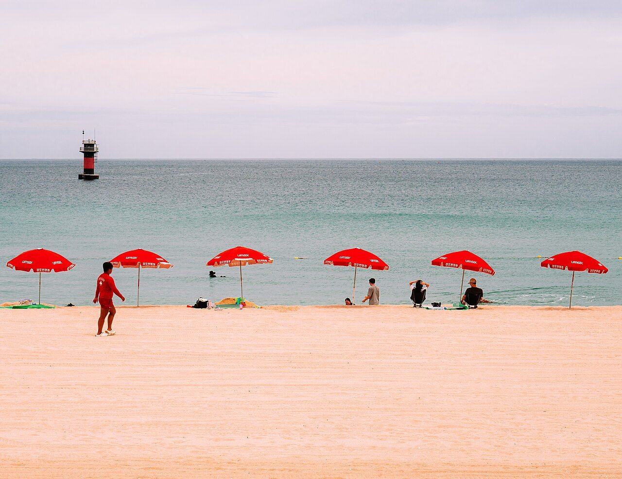
Does the path belong only to the walk itself? It sits naturally alongside a visit to Jeongdongjin, whose beach lies by the station, and Simgok gives the other end a harbour setting. The coast supplies its own contrast: a railway platform beside the sea, then a former patrol shore where raised seabed and wave-cut rock come into view at close range. The main rail links are covered in getting to Gangneung, but the more interesting question may be less about reaching the coast than about what it looks like when the sea is having its say. Which version would it be?
Credits: Mobius6; Creative Commons BY-SA 4.0; Mobius6; Creative Commons BY-SA 4.0; Masterhatch; Creative Commons BY-SA 4.0